 Digital MRV
Gold Standard
A certification standard for climate and development projects.
Allometra turns satellite, field and sensor data into carbon credits buyers can trust, from the first land survey to every monitoring season after.
Carbon markets run on trust. Trust runs on data. We make that data impossible to argue with.
Evidence is collected and organised as you go, not scrambled for at audit.
Every number is cross-checked across independent sources.
See where every site stands, any day of the year.
Public Earth-observation data gives every project a fair, repeatable view.
Detail of free public satellite imagery
Between fresh satellite images of a site
Of land history we can look back on
Continuous readings from on-site sensors, where installed
One credit = one tonne of CO₂ kept out of, or pulled from, the air. It is only worth something if someone can prove it. That proof is called MRV.
Watch the land, continuously.
Turn what we see into clear numbers.
Let independent auditors confirm them.
The same idea, done digitally: faster, continuous and much harder to fake. That is what Allometra does.
8 sample sites, from field audit to credits issued. Every site, figure and readout here is illustrative.
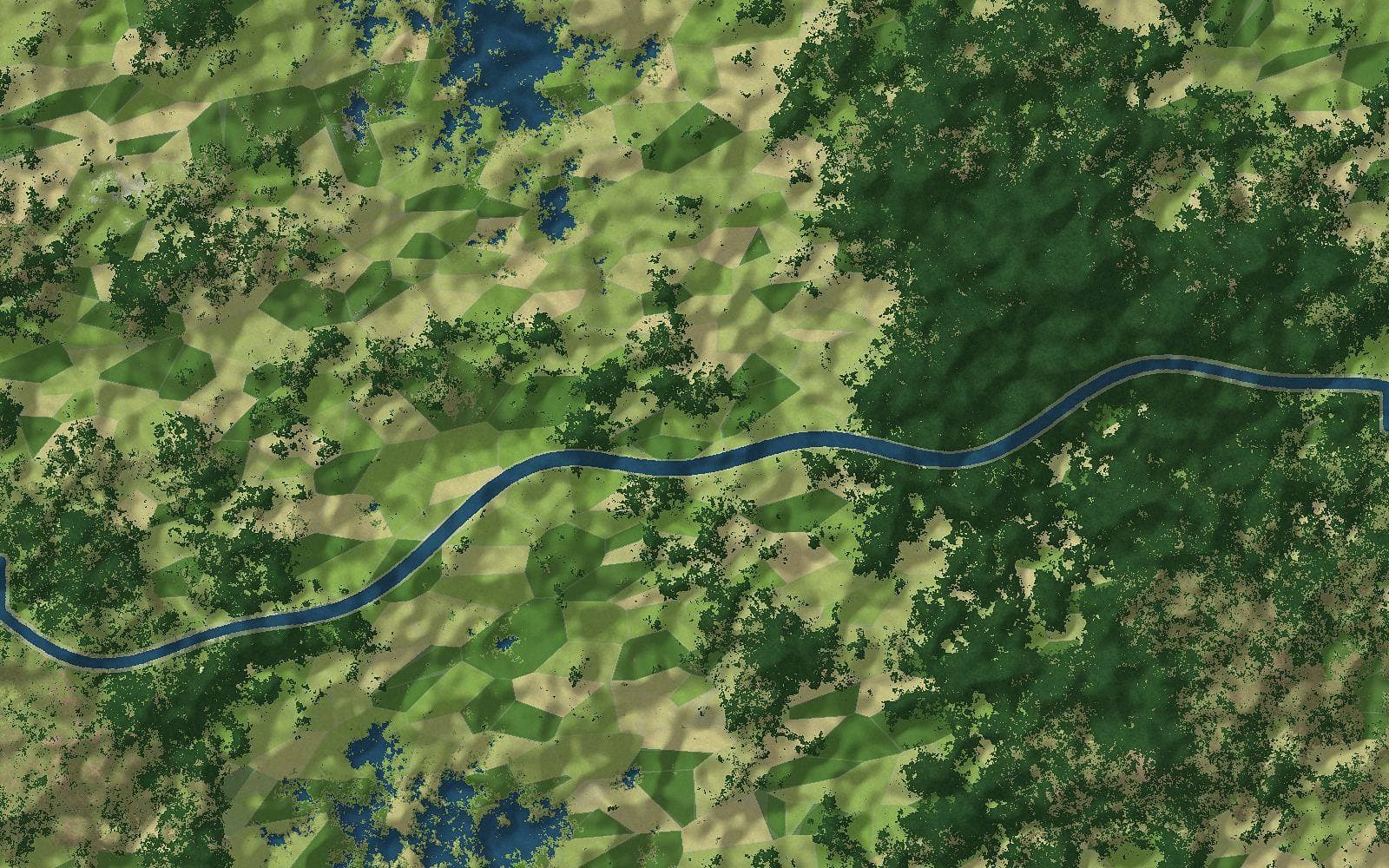
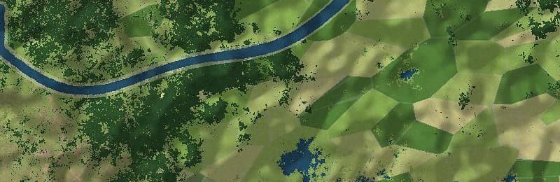
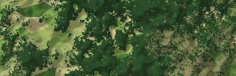
The same land, seen through the year. Change is caught while it can still be fixed.
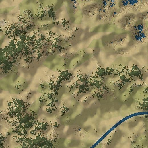
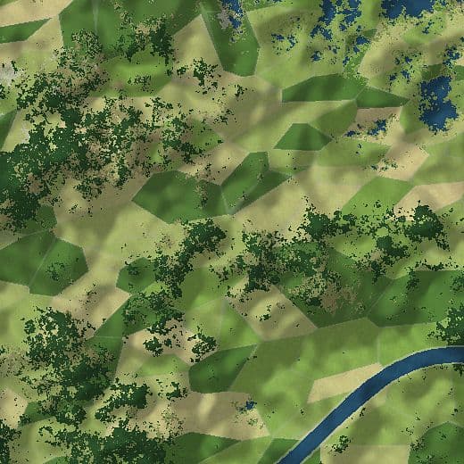
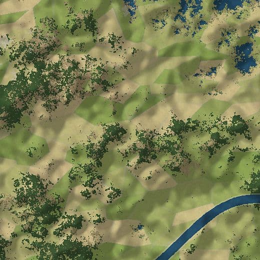
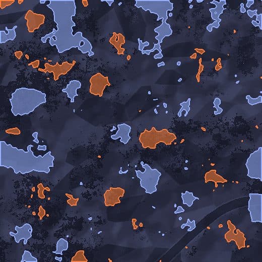
Sample · illustrative imagery.
Built on trusted public Earth-observation data, so results stay affordable and anyone can check them.
Every figure is tested against independent sources.
Each number links back to its source, date and method.
Every change is sealed in a permanent record.
An independent reviewer can rerun it and get the same answer.
Digital MRV is becoming part of how carbon markets work. Allometra is designed with that in mind.
Digital MRVA certification standard for climate and development projects.
 Voluntary market
A standard for voluntary carbon market projects.
 Integrity
A benchmark for high-integrity carbon credits.
 Compliance
Rules for countries trading carbon credits.
 Quantification
International standard for measuring and verifying emissions.
Designed to support these frameworks. Not affiliated with or endorsed by them.
Digital monitoring, reporting and verification. It uses satellites, sensors and software to prove a project’s climate impact continuously, instead of through occasional manual surveys.
Nature-based projects: tree planting and restoration, agroforestry, forest protection, grasslands and soil carbon.
Every figure is cross-checked against independent sources, traced to its origin, and sealed so any later change is visible. An independent reviewer can rerun the result.
No. Independent verifiers still verify. We make sure the evidence reaches them complete, organised and easy to test.
AI flags anomalies and risks early, and people review every flag. Gaps in the data are detected and flagged, never silently filled, and where clouds block optical imagery, radar adds observations. Humans approve results; nothing is credited or reported by a machine alone.
Only your organisation. Each client’s data is kept separate, and every change is recorded.
Less fieldwork, faster issuance, fewer surprises at audit.
See what your land is worth, and your share, clearly.
Evidence arrives organised, traceable and ready to test.
Know exactly what you are buying, down to the parcel.
Write to us: support@allometra.tech